Another aerial survey will be carried out by drone in Lyskovo.
August 26, 2025 16:20
[374]
Society
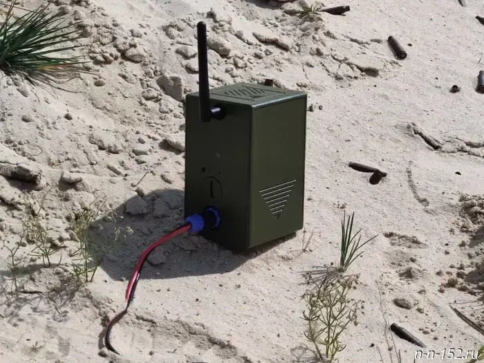
At the end of August, geodata update work using drones will again take place in Lyskovo. The Federal Service for State Registration, Cadastre and Cartography (Rosreestr) for the Nizhny Novgorod region will organize aerial photography there from August 26 to 28, 2025.
The survey will cover cadastral quarters numbered 52:27:0090004, 52:27:0090005 and 52:27:0090011. Specialized unmanned aerial vehicles of the copter type with a black-and-white body will be used to carry out the tasks.
Drone flights are planned daily from 10:00 to 16:00. Their main task is to update the region’s geospatial database and perform functions of state land supervision.
According to Maksim Paikov, Deputy Head of Rosreestr for the Nizhny Novgorod region, all work is carried out strictly within the framework of current legislation, with the necessary safety measures observed.
The use of drones allows prompt recording of changes in real estate objects and obtaining images with a high level of detail.
Residents of the town are asked to be understanding of the survey. If you have any questions, you can call 8 (831) 411-85-36.
Recall that earlier this August aerial drone photography of the area was already carried out in Lyskovo.
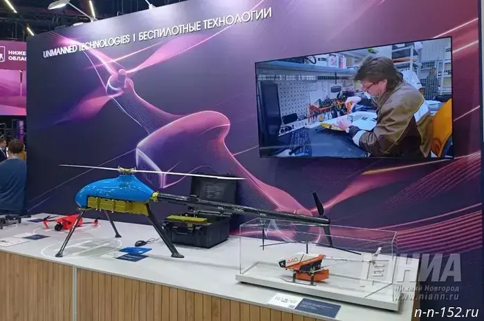
It was previously reported that the introduction of unmanned aerial vehicles began in the agricultural sector of the Nizhny Novgorod region.
The NIA "Nizhny Novgorod" has a Telegram channel. Subscribe to stay informed of major events, exclusive materials and timely information. Copyright © 1999–2025 NIA "Nizhny Novgorod". When reprinting, a hyperlink to NIA "Nizhny Novgorod" is required. This resource may contain 18+ materials.
Другие Новости Нижнего (Н-Н-152)
 Nizhny Novgorod Region launches a scientific tourist route to Sarov.
Nizhny Novgorod News
Former deputy chairman of Nizhny Novgorod’s Yabloko, Sadomovsky, was added to the list of extremists.
Nizhny Novgorod News
Nizhny Novgorod Region launches a scientific tourist route to Sarov.
Nizhny Novgorod News
Former deputy chairman of Nizhny Novgorod’s Yabloko, Sadomovsky, was added to the list of extremists.
Nizhny Novgorod News
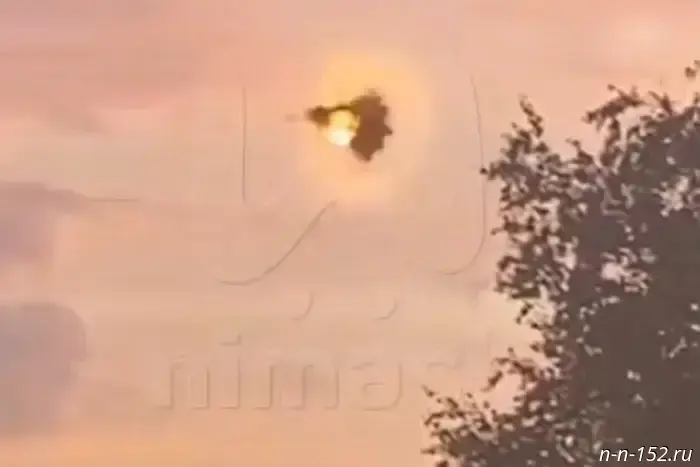 A drone was shot down in the Nizhny Novgorod region.
In the night of August 25 to 26, one Ukrainian fixed-wing drone was shot down in Nizhny Novgorod Oblast, the Ministry of Defense reports. 26.08.2025. Vyksa.RF. Nizhny Novgorod Oblast. Vyksa.
A drone was shot down in the Nizhny Novgorod region.
In the night of August 25 to 26, one Ukrainian fixed-wing drone was shot down in Nizhny Novgorod Oblast, the Ministry of Defense reports. 26.08.2025. Vyksa.RF. Nizhny Novgorod Oblast. Vyksa.
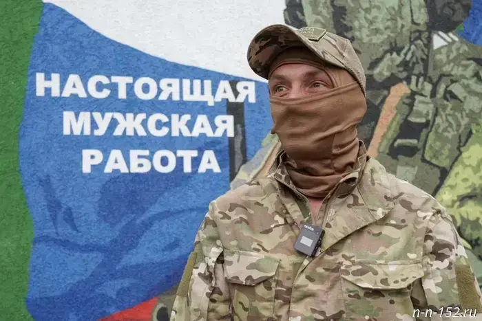 SVO volunteer: "I firmly decided to repay my debt to the Motherland"
Nizhny Novgorod News
SVO volunteer: "I firmly decided to repay my debt to the Motherland"
Nizhny Novgorod News
 An instance of illegal moose hunting was discovered in Tonshaevsky District.
On the territory of the Tonshaevsky Municipal District of Nizhny Novgorod Oblast, the "Vystrel" device detected a case of illegal hunting of two moose. 26.08.2025. Nizhegorodskaya Pravda. Nizhny Novgorod Oblast. Nizhny Novgorod.
An instance of illegal moose hunting was discovered in Tonshaevsky District.
On the territory of the Tonshaevsky Municipal District of Nizhny Novgorod Oblast, the "Vystrel" device detected a case of illegal hunting of two moose. 26.08.2025. Nizhegorodskaya Pravda. Nizhny Novgorod Oblast. Nizhny Novgorod.
 Intensive educational camps on agrogenetics for high school students are being held in Nizhny Novgorod.
Nizhny Novgorod News
Intensive educational camps on agrogenetics for high school students are being held in Nizhny Novgorod.
Nizhny Novgorod News
Another aerial survey will be carried out by drone in Lyskovo.
Nizhny Novgorod News