Drones will conduct aerial photography in Lyskovo to update geospatial data.
August 19, 2025 10:15
[141]
Society
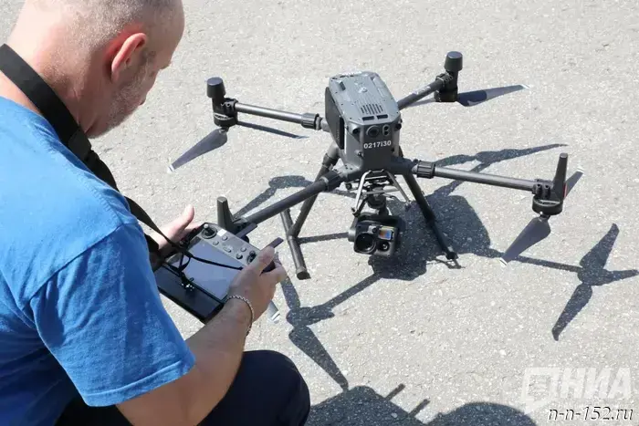
From August 19 to 21, 2025, aerial photography using unmanned aerial vehicles will be carried out in Lyskovo. This was reported by Rosreestr for the Nizhny Novgorod region.
A white-and-black copter will be flying over the city. Its task is to collect up-to-date data on the area as part of the update of geoinformation and state land supervision. Work will take place from 10:00 to 16:00.
As Rosreestr explained, the use of unmanned aerial vehicles makes it possible to significantly increase the accuracy of measurements, speed up monitoring of real estate properties, and provide more effective control over land use.
"We ask residents not to worry and to remain calm. All actions are carried out within the framework of current legislation and with the observance of all necessary safety measures," said Maxim Paikov, deputy head of the regional Rosreestr office.
For questions related to the survey, you can contact the Rosreestr office by phone: 8 (831) 411-85-36.
It was previously reported that a quadcopter helped identify a dump in a forest in the Nizhny Novgorod region.
NIA "Nizhny Novgorod" has a Telegram channel. Subscribe to stay informed about the main events, exclusive materials, and timely updates.
Copyright © 1999–2025 NIA "Nizhny Novgorod". When reprinting, a hyperlink to NIA "Nizhny Novgorod" is required. This resource may contain 18+ material.
Другие Новости Нижнего (Н-Н-152)
 Nikitin spoke about plans for the development of the Sechenov district.
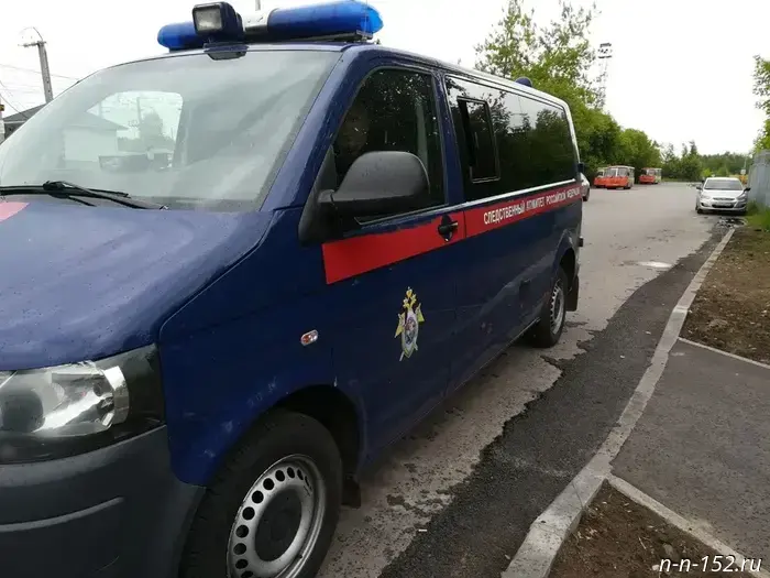 The Investigative Committee opened a terrorism case after a drone attack on the Nizhny Novgorod region.
A drone damaged a power line in Kstovsky District
The Investigative Committee opened a terrorism case after a UAV attack on the Nizhny Novgorod region. 18.08.2025. Komsomolskaya Pravda. Nizhny Novgorod region. Nizhny Novgorod.
The Investigative Committee opened a terrorism case after a drone attack on the Nizhny Novgorod region.
A drone damaged a power line in Kstovsky District
The Investigative Committee opened a terrorism case after a UAV attack on the Nizhny Novgorod region. 18.08.2025. Komsomolskaya Pravda. Nizhny Novgorod region. Nizhny Novgorod.
 An aerostat made an emergency landing in the courtyard of a residential building in Nizhny Novgorod.
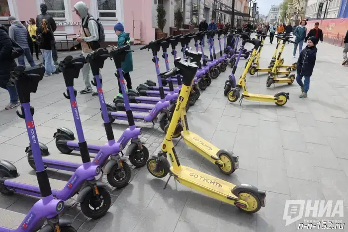 MP Nilov appealed to the Central Bank with the idea of introducing OSAGO for scooter couriers.
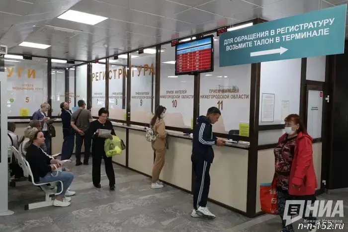 Nizhny Novgorod Oblast halved the outflow of patients.
 Water and electricity will be turned off at certain addresses in Nizhny Novgorod on August 18.
The outages are planned
Water and electricity will be turned off at certain addresses in Nizhny Novgorod on August 18. August 18, 2025. Komsomolskaya Pravda. Nizhny Novgorod Oblast. Nizhny Novgorod.
Water and electricity will be turned off at certain addresses in Nizhny Novgorod on August 18.
The outages are planned
Water and electricity will be turned off at certain addresses in Nizhny Novgorod on August 18. August 18, 2025. Komsomolskaya Pravda. Nizhny Novgorod Oblast. Nizhny Novgorod.